 TEXTILES.ORG
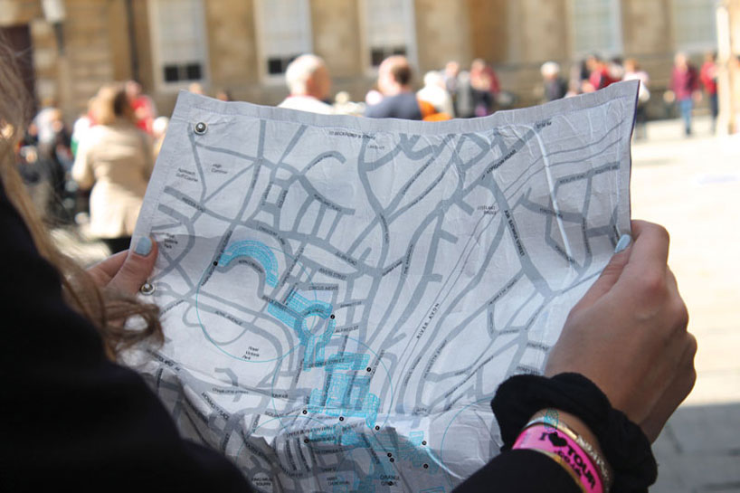
Rolled, fabric maps are about as old as maps themselves, but a new map designed by Camilla Hempleman offers additional useful features for visitors and residents in her native Bath, England. The Bath °C Thermo Color Map uses thermo-chromic inks and Tyvek® fabric, and is activated at different temperatures, which reveals layers of hand-illustrated buildings and attractions and helps the user find the best places to visit, depending on the weather.
The color-coding matches specific external environmental temperatures, which allows tourists, visitors and residents alike to have a new experience of Bath. If it’s raining the map will show museums, for example. If it’s hot, rivers and lakes will be revealed.
The fabric is water and crumple proof, allowing it to be easily stored in a purse or tote; there is minimal packaging in order to combat excess waste.